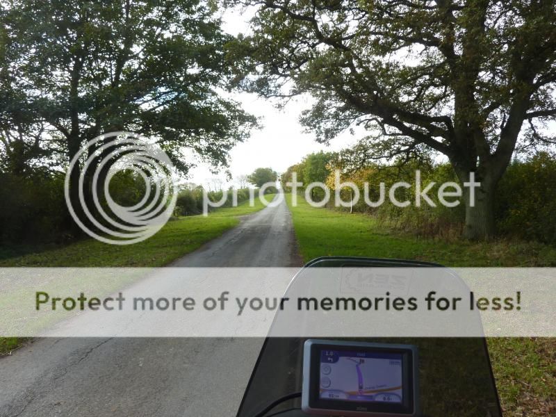
For those that like to bumble around not necessarily venturing far off the supposed surfaced roads. or as a starting point for more serious riding I have sorted out and updated some the data I have uploaded elsewhere.
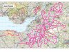
Quiet Roads are West Country only.
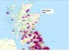
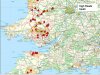
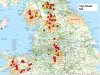
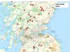
Wet Roads and High Roads cover Great Britain
Quiet roads
I found a book that may be of interest to Big Softies more Vara than XR but it can be turned into something more serious by linking in some lanes as -http://www.bigtrailie.co.uk/viewtopic.php?f=7&t=447&sid=d18a0eed3119f3f8784ec328885792e5
.
The title is The Quiet Road by C Greenwood A5 format 72 pages.
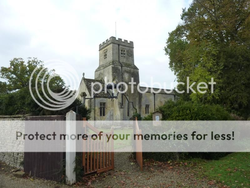
It is a series of routes, tours of 80 to 150 miles, generally starting from Bath that generally went over country lanes- the quiet roads, in the mid west counties of Gloucestershire, Wiltshire, Somerset and Dorset. The tours were originally published in the Wilts & Bath Evening Chronicle, in 1969 & 1970 were collated into this book.
Each route is shown as a simple map and described over 2 or 3 pages, giving directions and noting points of interest along and nearby the route. I was surprised by the road changes in some areas-Yeovil and building of the A303 and generally A roads becoming B roads and vice versa and some roads even becoming byways.
I have attached the plots of the routes that I put into Memory Map.
I have seen the book on Amazon @ 99p+P&P if you are looking for a copy.
A zip file of the gpx and mmo track files for the routes from Memory Map.
These are the original routes from the book plus some combined routes that I have planned but have only done some of them!
The routes can be input into Tyre or Memory Map and probably other routing programs.
Quiet Roads are West Country only.
Wet Roads and High Roads cover Great Britain
Quiet roads
I found a book that may be of interest to Big Softies more Vara than XR but it can be turned into something more serious by linking in some lanes as -http://www.bigtrailie.co.uk/viewtopic.php?f=7&t=447&sid=d18a0eed3119f3f8784ec328885792e5
.
The title is The Quiet Road by C Greenwood A5 format 72 pages.
It is a series of routes, tours of 80 to 150 miles, generally starting from Bath that generally went over country lanes- the quiet roads, in the mid west counties of Gloucestershire, Wiltshire, Somerset and Dorset. The tours were originally published in the Wilts & Bath Evening Chronicle, in 1969 & 1970 were collated into this book.
Each route is shown as a simple map and described over 2 or 3 pages, giving directions and noting points of interest along and nearby the route. I was surprised by the road changes in some areas-Yeovil and building of the A303 and generally A roads becoming B roads and vice versa and some roads even becoming byways.
I have attached the plots of the routes that I put into Memory Map.
I have seen the book on Amazon @ 99p+P&P if you are looking for a copy.
A zip file of the gpx and mmo track files for the routes from Memory Map.
These are the original routes from the book plus some combined routes that I have planned but have only done some of them!
The routes can be input into Tyre or Memory Map and probably other routing programs.