Met Office as useful as a chocolate fireguard

nigelphoto

New Member
I am getting really peed off with the hopelessly inaccurate weather forecasting from the Met Office. Its so bad that this morning it was made into a comedy slot on Radio 2 with people texting/emailing in to say what had been forecast and what the weather was really like at their own location. Weather forecasts are actually vital for people some like farmers especially at this time of year and I would have thought it incumbent on the Met Office to get it at least half right - but they can't. Tossers!
 

Ysbytymike

New Member
Can never understand how professionals can get it wrong so often and still keep their jobs?
I'd have been out on my ear in no time if I wasn't doing my job right.
 

Rubberchicken

Well-Known Member
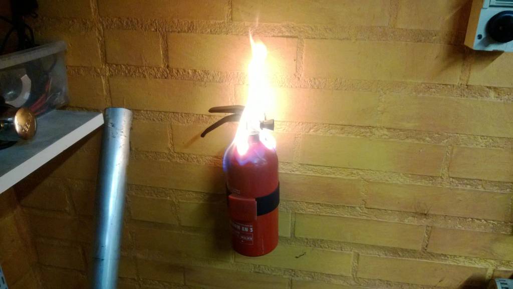
oneofthosedays-fire-extinguisher.jpg
 

Loggy

Member
Must be great getting £60,000 a year to forcast rubbish. The "Tropical Storm" forcast for Sunday came to nothing...
 

africajim

Member
Well, I just drove my Freelander 2 through water up to the bonnet! Many roads around the city of Elgin, Morayshire are flooded and traffic unable to get through. Over 200 houses have been evacuated and hopefully the river will not do too much damage.
This was all forecast by the Met office and they were spot on, even with the time the rain would start! So they're not always wrong!
 

outrunner

Well-Known Member
I was thinking of you and hoping everything was OK for you when I saw the extent of flooding on the news tonight. Glad you did not get your feet wet, but Elgin a city??? ;) :D :D


Andy.
 

nigelphoto

New Member
I did have me 'angry head' on yesterday so I sent this email to the Met Office . . .

Dear Mr/Mrs or Miss Weather Person,
Please could you tell me if you actually look out of the window to see what the weather's really like? You are so inaccurate that your forecasts are now a regular comedy slot on Radio 2 with everyone texting in to say that their particular location is exactly the opposite of what you forecast. Some career advice for the lot of you - make yourselves redundant and go and stack shelves or do something a bit more useful for society!

Regards etc etc


I received this techno-speak blather in return

Dear Nigel,

Thank you for your recent feedback in connection with the accuracy of our forecasts. It is never our intention to mislead and we are very sorry if you have seen a forecast which you found unhelpful. We do understand the importance of accurate forecasting when planning weather critical events.

Perhaps it will help to know that during 2010 we changed the way we produce forecasts for our website. This means that the Met Office graphics' output is derived directly from our models and there is no manual intervention to edit that data. The output is automated and a blend of many different models . Given the symbols are updated within every hour, the process also employs an element of "nowcasting" which automatically utilises the most recent available observations from across the UK and around the world. This has been a huge success since it was introduced but we do recommend that the site-specific symbols should be read in conjunction with the regional texts which our forecasters write.

Our computer model produces an excellent representation of the weather symbols, temperatures etc. but sometimes, through the process of averaging over a three hour time period, or averaging over an area, some of the small scale detail can be obscured. However, the forecasters can (and do) update the regional texts if the complexion of the weather significantly changes. These texts are routinely updated at 04:00 and 16:00 every day. When the symbols and the regional texts are taken together, and with an appreciation for the localised nature of weather, we believe you will gain the best possible forecast.

In March 2012 we began a process of refreshing our web pages which means we can now offer forecasts for 5000+ sites. This was a big step forward and as the science improves, we will continue to build on this to increase the number of forecasts. .

Finally, your feedback is very valuable so I hope it’s reassuring to know that all feedback is reported to management teams across the Met Office. This offers them an opportunity to know what the public are telling us and contributes to their discussions about how we can refine our products and services. With this in mind, thank you for taking the time to get in touch.

Kind regards,

Cassie


All very fine and dandy, but I still think they'd be more accurate if they looked out the window once in a while
 

africajim

Member
Yes Andy, Elgin is a registered city as we have a cathedral!
The flooding was pretty bad, last night I had to concede on one road as it came up to the bonnet and was getting dark! Dry today so hopefully levels will go down.
 

austin

Well-Known Member
I am going to jump to the defence of the Met office. I think they get it more or less right most of the time - for example a forecast of showers means exactly that - showers are by definition localised which means you could be under one after the other or you might be continually in the sunny bits in between. Looking out the window only tells you what your location is getting; it could be completely different on the other side of town. And, I know from having studied meteorology to degree level that its bloody hard - and that was then, before we had the ability to try and work out the interplay between the seemingly infinite number of factors that influence weather not all of which follow the same rules all the time. Did you know for example that how rough the sea is in the mid-Atlantic can affect how heavy the rain is in the UK. But that if its rough and sunny then there's a greater affect than if its rough and raining. It's do with the tiny particles of salt residue after droplets of sea eater evaporate, how they get carried into the atmosphere and how readily water vapour will condense onto the particles once its up there - itself a factor of the origin of the air, the temperature at altitude, humidity, turbulence, amount of sunlight, and more and more variables I can't remember any more. All I know is that working it all out into a consistently accurate forecast is really really difficult even with the supercomputers the met office have at their disposal - which after all only do the number crunching.

What the met office do seem to do badly is over-forecast a potentially severe weather event - call it the Michael fish factor after the farcical forecast of 1987. Technically we didn't get a hurricane (only the Caribbean/southern USA gets hurricanes) so technically he was right, but we did get hurricane force winds which everyone understood so he was wrong in everyone's mind.


Sent from my iPhone with a smile :)
 

Loggy

Member
austin said:
I am going to jump to the defence of the Met office. I think they get it more or less right most of the time - for example a forecast of showers means exactly that - showers are by definition localised which means you could be under one after the other or you might be continually in the sunny bits in between. Looking out the window only tells you what your location is getting; it could be completely different on the other side of town. And, I know from having studied meteorology to degree level that its bloody hard - and that was then, before we had the ability to try and work out the interplay between the seemingly infinite number of factors that influence weather not all of which follow the same rules all the time. Did you know for example that how rough the sea is in the mid-Atlantic can affect how heavy the rain is in the UK. But that if its rough and sunny then there's a greater affect than if its rough and raining. It's do with the tiny particles of salt residue after droplets of sea eater evaporate, how they get carried into the atmosphere and how readily water vapour will condense onto the particles once its up there - itself a factor of the origin of the air, the temperature at altitude, humidity, turbulence, amount of sunlight, and more and more variables I can't remember any more. All I know is that working it all out into a consistently accurate forecast is really really difficult even with the supercomputers the met office have at their disposal - which after all only do the number crunching.

What the met office do seem to do badly is over-forecast a potentially severe weather event - call it the Michael fish factor after the farcical forecast of 1987. Technically we didn't get a hurricane (only the Caribbean/southern USA gets hurricanes) so technically he was right, but we did get hurricane force winds which everyone understood so he was wrong in everyone's mind.


Sent from my iPhone with a smile :)


An excellent informative reply mate. So what DO we get if we get a storm of Hurricane force winds and it's "technically" not a Hurricane?
 

austin

Well-Known Member
Loggy said:
An excellent informative reply mate. So what DO we get if we get a storm of Hurricane force winds and it's "technically" not a Hurricane?

It's "just" an Atlantic low pressure system usually. If you look on a proper weather map the isobars are very similar in concept to contour lines on a topographical map except they are lines that follow atmospheric pressure not height. That means that the closer the isobars are together the steeper the pressure gradient and in the same way that water flows faster steep hill so the air in the atmosphere flows down the pressure gradient to fill in the "hole" in the atmosphere and if its steep enough there will be hurricane force winds.

That's the simple version. The atmosphere of course exists in three dimensions so it gets very complicated as air is moving across the surface as above but also upwards and downwards and meanwhile the earth's surface is moving underneath it. The upward and downwards movement is what mostly creates rain (up) or fine weather (down). Meanwhile the earths rotation deflects the direction of the wind to the right in the northern hemisphere and the left in the south. Called the Coriolis effect. This why wind rotates around Atlantic lows rather than straight towards the centre. And while all this is going on the atmospheric situation that caused the low in the first place may still be going on (or may not) so making the low deeper, or allowing it to fill in.

You will also see things called fronts. These mark the boundary between two different types of sir masses - usually relatively cold relatively dry air originating from polar regions and relatively warm relatively moist tropical air. Those differences create vertical movement in the atmosphere along the boundary. You will have experienced this loads of times as most rain in the UK is frontal rain. Typically the warm front comes first with increasing cloud cover before 4-5hours of steady rain and the temperature going up by a noticeable few degrees. The warm sector of a low pressure area is usually cloudy and it may rain or be drizzly. On the continent where there is more heat in the atmosphere this where they can get the really intense thunderstorms The cold front usually has harder rain sometimes thunder but for just for 2-3 hours and as the front passes there is usually a quite marked change to cooler drier conditions. This is where you will get white fluffy clouds that may bubble up to showers or if either very cold air over warm ground/hot sun will turn into cumuli nimbus clouds giving a good thunderstorm. This is the weather that gives us April showers.

More to come if you want.


Sent from my iPhone with a smile :)
 

Steve T

Well-Known Member
Austin, after those detailed and informed responses, I'm guessing that you've got more than a bit of sea-weed hanging outside your back door!! :D :thumbsupanim:

Steve T

:cool:
 

nigelphoto

New Member
austin said:
It's "just" an Atlantic low pressure system usually. If you look on a proper weather map the isobars are very similar in concept to contour lines on a topographical map except they are lines that follow atmospheric pressure not height. That means that the closer the isobars are together the steeper the pressure gradient and in the same way that water flows faster steep hill so the air in the atmosphere flows down the pressure gradient to fill in the "hole" in the atmosphere and if its steep enough there will be hurricane force winds.

That's the simple version. The atmosphere of course exists in three dimensions so it gets very complicated as air is moving across the surface as above but also upwards and downwards and meanwhile the earth's surface is moving underneath it. The upward and downwards movement is what mostly creates rain (up) or fine weather (down). Meanwhile the earths rotation deflects the direction of the wind to the right in the northern hemisphere and the left in the south. Called the Coriolis effect. This why wind rotates around Atlantic lows rather than straight towards the centre. And while all this is going on the atmospheric situation that caused the low in the first place may still be going on (or may not) so making the low deeper, or allowing it to fill in.

You will also see things called fronts. These mark the boundary between two different types of sir masses - usually relatively cold relatively dry air originating from polar regions and relatively warm relatively moist tropical air. Those differences create vertical movement in the atmosphere along the boundary. You will have experienced this loads of times as most rain in the UK is frontal rain. Typically the warm front comes first with increasing cloud cover before 4-5hours of steady rain and the temperature going up by a noticeable few degrees. The warm sector of a low pressure area is usually cloudy and it may rain or be drizzly. On the continent where there is more heat in the atmosphere this where they can get the really intense thunderstorms The cold front usually has harder rain sometimes thunder but for just for 2-3 hours and as the front passes there is usually a quite marked change to cooler drier conditions. This is where you will get white fluffy clouds that may bubble up to showers or if either very cold air over warm ground/hot sun will turn into cumuli nimbus clouds giving a good thunderstorm. This is the weather that gives us April showers.

More to come if you want.


Sent from my iPhone with a smile :)

I do think you should have mentioned the causal effect on precipitation from the latitudinal position of the ITCZ and in particular the importance of the Jet Stream on North Atlantic pressure systems which, in the main but not exclusively, control the weather patterns over the British Isles. To illustrate this point, I am attaching herewith the Jet Stream plot for today, 14 Aug 2014


One final thought - how come James Stagg could predict a window in the Atlantic low on 5-6th June 1944 with the barest minimum of information and scientific instrumentation and yet the Met Office nowadays with all the development in meteorology can't tell what the weather was yesterday, let alone this afternoon???
 

Dee Dub

Active Member
If someone were to swat that pesky butterfly I keep hearing about, forecasting the weather would be much easier. It might seem cruel, but it would be for the greater good.
 
Top